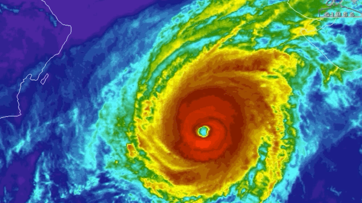
Category 3 Hurricane Hilary Gains Strength on Track Towards Southern California
A storm that was initially heading toward Southern California turned into a hurricane and later grew stronger to become a major Category 3 hurricane, as stated by the National Hurricane Center. This hurricane is predicted to bring heavy rain to certain parts of California after impacting Mexico.
Greg Postel, a hurricane and storm specialist from the Weather Channel with expertise in atmospheric sciences, mentioned that the storm is not expected to maintain hurricane status upon its final approach. The remnants of the storm are likely to result in substantial rainfall and strong winds for some areas in California, including the Los Angeles Basin. The Southwestern U.S. should brace for heavy rainfall starting on Friday and lasting through early next week. The storm’s impact is anticipated to peak on Sunday and Monday, as noted by the hurricane center. Large waves along the coastline are also expected in the upcoming days.
Postel remarked that having a tropical system like this move through Southern California is a rare occurrence, almost unprecedented in recent history.
At the time of the advisory, Hurricane Hilary was positioned about 445 miles south of Cabo San Lucas, Mexico. It boasted maximum sustained winds of 120 mph and was moving at a speed of 14 mph in the west-northwest direction. The hurricane is projected to continue moving in this direction, with a shift towards the northwest expected on Friday morning.
As the weekend approaches, the hurricane’s center is predicted to approach Mexico’s Baja California Peninsula. The hurricane center anticipates rapid strengthening, and the storm is likely to escalate into a “major” hurricane by Thursday.
Meteorologists have forecasted that the storm will generate between 3 to 6 inches of rainfall, with potential maximum amounts of up to 10 inches, across parts of the peninsula until Sunday night. There’s a chance of flash flooding due to these conditions. Postel cautioned that the area could experience “damaging wind gusts,” particularly at higher elevations, along with coastal swells. Tropical storm watches and warnings are currently in effect for certain areas in western Mexico.
#HurricaneHilary #Category3Strength #SouthernCaliforniaPath #WeatherAlert #StormUpdate #HurricaneAlert #MajorStorm #CaliforniaWeather #HilaryStrengthens #WeatherUpdate #EmergencyPreparedness #StormWatch #NaturalDisaster #StaySafeCalifornia


